

 HTML5
HTML5
 CSS3
CSS3
 JavaScript
 Bootstrap
 AJAX
AJAX
 jQuery
 PHP
PHP
 phpMyAdmin
 XAMPP
XAMPP
 cURL
cURL
 Leaflet
Project information
- Category: Geolocation Web Application
- Project URL: alexneill.co.uk/Gazetteer
Gazetteer Project Description
Gazetteer, a geolocation web application, represents my initial project during my full stack web development course. It provides dynamic information related to countries, including demographic and geographic data, airports and major city locations. The data is fetched using third party RESTful APIs.
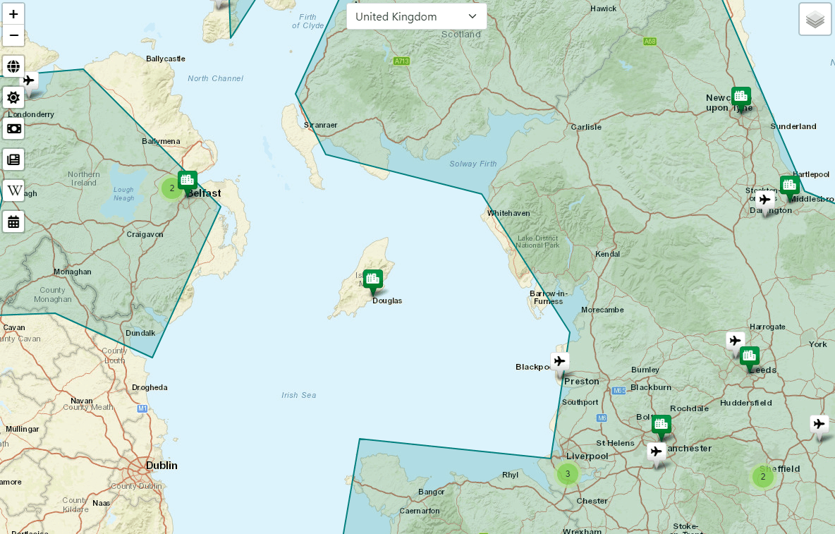
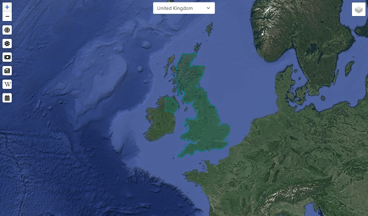
On page load the user's current country's border is highlighted in blue which is retrieved from a geoJSON file. The selected countries associated data is held within modals that can be interacted with by clicking on an icon to the left of the browser. The map view can be switched between an open street map and satellite view, in addition you can toggle airports and cities on and off the map layer if required.
This project involved using software technologies such as RESTful APIs, jQuery, AJAX, PHP, cURL, and Geojson data. The project relies on various APIs, including Leaflet.js, weatherapi, GeoNames.org - a geographical database and newsdata.io.
Please click on the project URL above to intereact with Gazetteer.